

Funded under: 2018-1.2.1-NKP-2018-00007
Project title: Creating and analyzing the seismomectonic model of Hungary
Consortium leader: Institute of Earth Physics and Space Science
Consortium partner: GEOMEGA Ltd.
Overall budget: HUF 224,520,150
NKFIH contribution: HUF 206,358,710
Funded by: National Research, Development and Innovation Office (NKFIH)
Project duration: 1 January 2019 – 31. December 2021

Short summary of the project
Changes in the natural terrestrial environment play special role among the conditions controlling the safety of society. Earthquakes represent unavoidable and suddenly occurring events, which can lead to enormous catastrophes at the seismically most active and highly populated belts of the Earth.
However, the level of seismic activity in the Pannonian basin and Hungary is considered to be low to medium, but not negligible at all. There were several large earthquakes in the past centuries, which are quite well-known from historical documents and archive records and retrospective damage evaluation. Moderate seismicity does not refer to earthquakes of low to medium magnitude in general. Instead, it means that large quakes may occur, but rarely, characterized by many thousand years of occurrence period. Hence, on the basis of existing seismicity catalogues the prediction of location and magnitude is rather ambiguous.
Remarkable development in the last decades in understanding the global tectonics of the Earth includes better understanding the generation mechanism of earthquakes. At the same time rapid progress has taken place in seismic technologies imaging structural features, more accurate location of earthquake hypocentres, and space technology monitoring continuous or sudden surface displacements.
By applying and combining all these novel technologies the seismotectonic map of Hungary will be compiled summarizing active and seismogenic faults, relocated earthquakes hypocentres, focal mechanism solutions and trajectories of the largest horizontal stress field.
The most appropriate strategy to reduce earthquake damages is following shake resistant building technologies. The Hungarian standard was developed in the European framework (Eurocode-8, MSz EN 1998-1), and gives the horizontal acceleration for the largest earthquake within 50 years, occurring with probability exceedance of 10%. This acceleration refers to the bedrock and should be transferred to the surface at every site. The critical parameter influencing the site effect (which can be as large as a factor of 2) is given by the average shear-wave velocity of 30 m thick unconsolidated upper layer (SV30). Site effect can be assessed by different methods, like laboratory measurements on core samples, penetration tests and special geophysical seismic surveys.
There have been several attempts worldwide to make the determination of the site effect more rapid and cost effective. The most recent remarkable initiative has been put forward by the US Geological Survey (USGS Open-file Report 2007-1357) suggesting that the topographic gradient shows a good correlation with the value of average shear-wave velocity of the surface layer (VS30). A few applications in Hungary demonstrated the applicability of the method, but also drew the attention to more extensive tests and calibration.
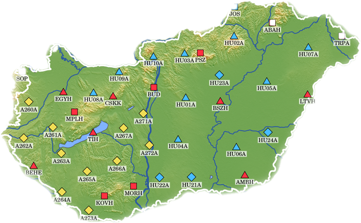
This is planned to be an essential part of this project at a selected test site in the vicinity of an active region, where appr. 30 new VS30 determination will be performed. We envisage the development of a novel validated methodology, which can be applied all over Hungary.
Elaborated seismotectonic map and unconsolidated upper layer correction map can be valuable inputs for technical designers working in city planning and in strategic infrastructure developments. This way R&D results of the project will be applicable for industrial usage (technical design, construction works).